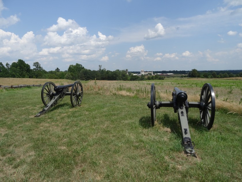
I took a break from the Civil War today, and went back further in time to a more formative time in our nation’s history. If you can’t guess where I went today, based on the title of today’s post, I went to Fort McHenry.
I want to start off by saying, if you haven’t been there, make sure you see the movie in the Visitors’ Center. It was very good, and explained the battle, and the song, very well, I thought. I actually got a little emotional, which should say a lot. I won’t say more than that, because anything I say here just won’t do it, you’ll have to see it for yourself.
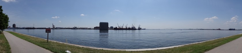
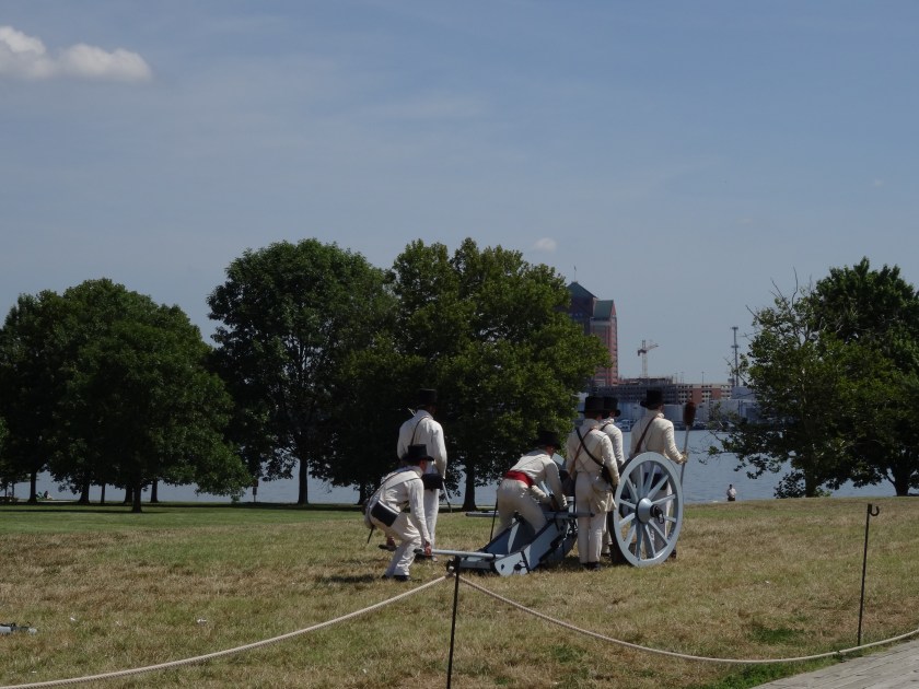
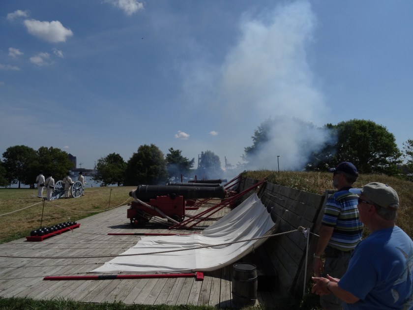
The first picture is the harbor. The British ships would have been about 2 miles out. If you look close in the picture, you can see a bridge in the distance on the right. The ships would have been about halfway out to the bridge. Of course, it wasn’t there in 1814. Next is a couple of pictures of the staff firing a cannon. They are wearing the uniforms that the soldiers in the fort would have worn. The first picture is right before they fired, the next is right after. That’s the best I could do to get a picture of the shot, I was covering my ears. If you want to see a picture right as a cannon is fired, go back to my post from Savannah. There’s a picture on there, if I remember.
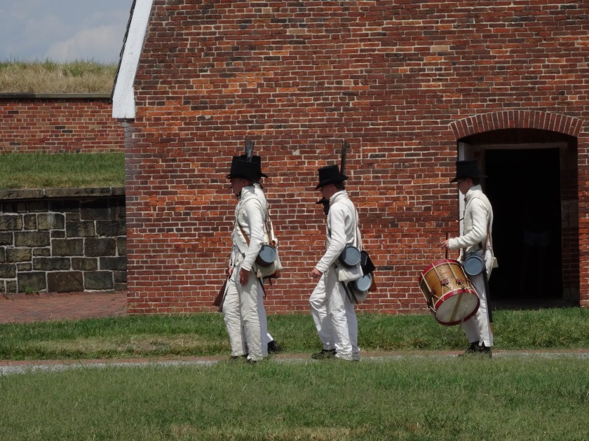
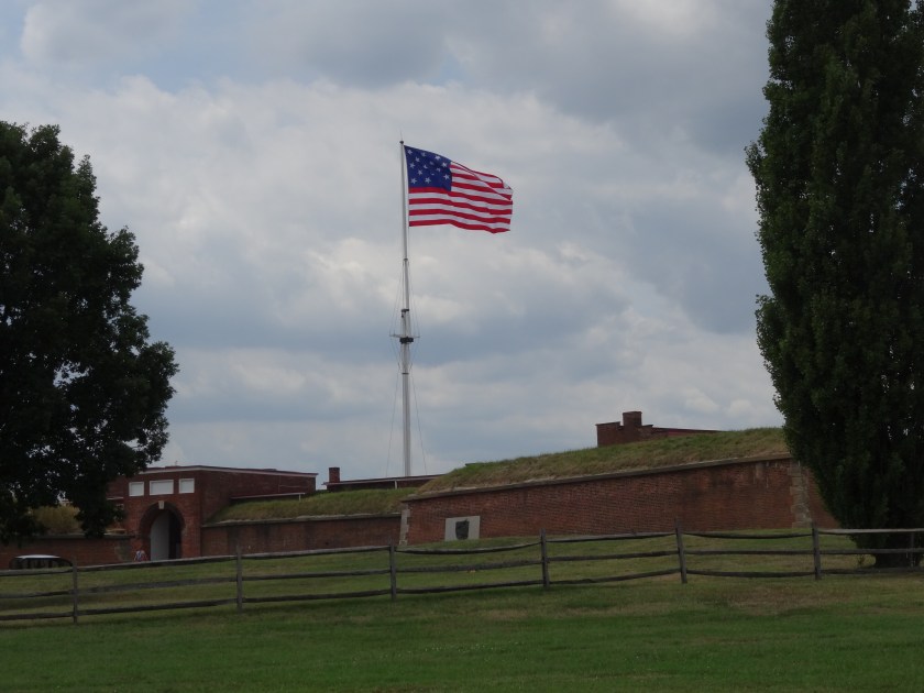
Next picture is the Fife and Drum corps, or at least 3 of them. They came and talked to us about the Fife and Drum corps, what it’s role was, and played some songs that would have been played in the fort. Finally, a picture from outside the fort, showing the flag. This flag is what the flag looked like (15 stars, 15 stripes), but is about half the size of the flag raised in the morning after the bombardment that inspired Francis Scott Key. They have one that size as well, but they weren’t flying it today. Oh, well.
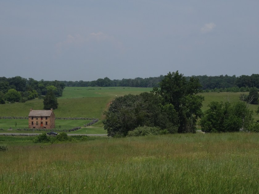
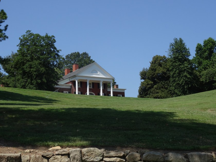
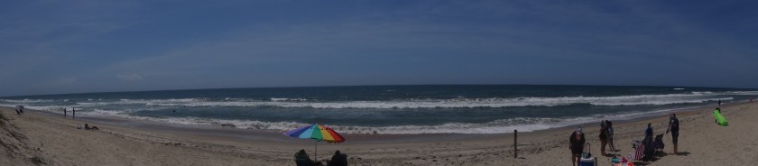
One more picture for you. I have mentioned that it is difficult to take pictures of pretty or cool things I see while I’m driving. I saw this, and had to find a place to pull over. I wasn’t sure I would be able to find a place, but after about probably 20 minutes, I found a place right before I turned into my hotel parking lot (which is down in a little valley, or perhaps I should say “hollow”, and wouldn’t have worked. Enjoy!
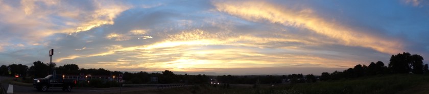
Happy Road-Tripping!